Drone Survey Services: What to Expect and How It Works


Introduction to Drone Survey Services
Drone survey services have revolutionized the way industries collect data and conduct inspections. With the ability to reach inaccessible areas and provide high-resolution imagery, drones have become indispensable in fields such as construction, agriculture, and environmental monitoring. In this post, we will explore what you can expect from drone survey services and how these high-tech tools work.
Benefits of Using Drones for Surveying
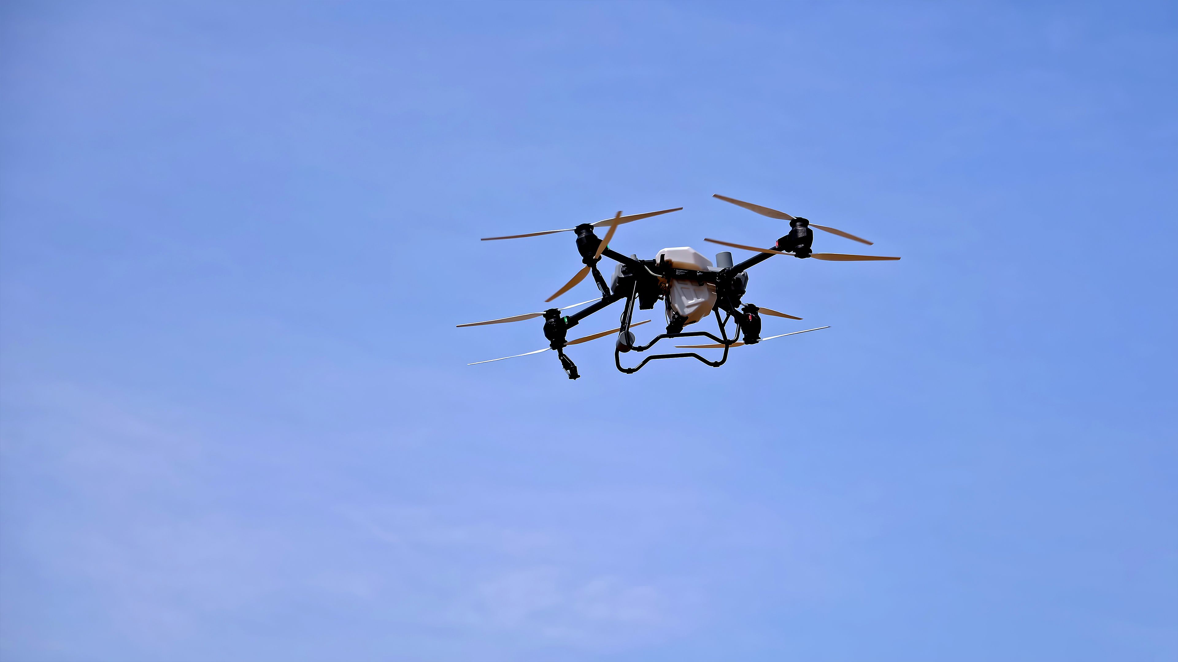
One of the most significant benefits of using drones for surveying is their ability to capture data quickly and accurately. Unlike traditional methods, drones can cover large areas in a fraction of the time, reducing labor costs and increasing efficiency. Additionally, drones can access difficult terrains, providing a safer alternative to manual inspections.
High-quality data is another advantage. Equipped with advanced sensors and cameras, drones can capture detailed images and generate precise maps. This data is invaluable for decision-making, project planning, and tracking progress over time.
The Process of Drone Surveys
The process of conducting a drone survey typically involves several key steps:
- Planning: Before launching a drone, surveyors plan the flight path and determine the specific data requirements for the project.
- Data Collection: The drone is flown over the designated area, capturing images and other relevant data.
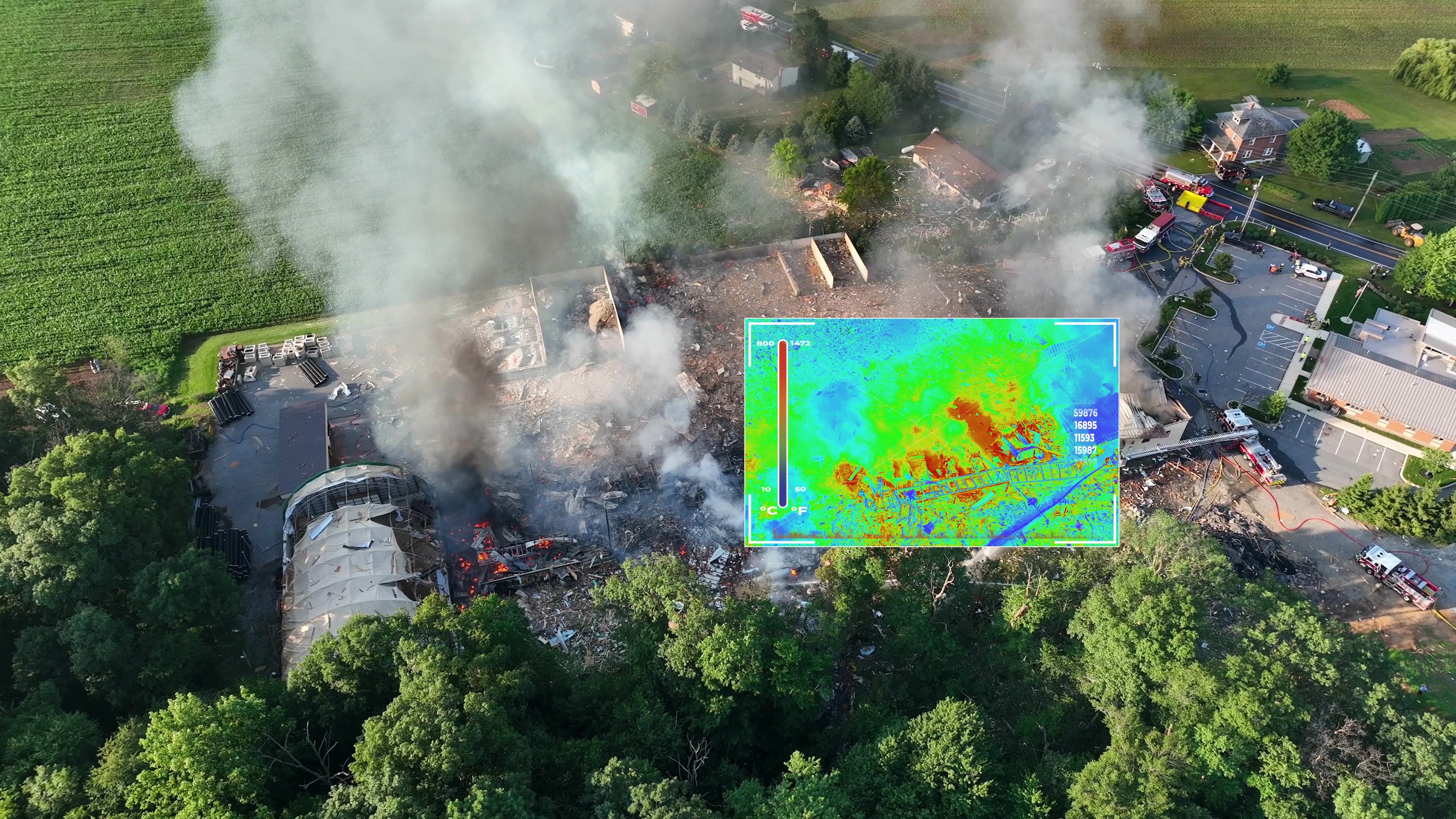
- Data Processing: After the flight, the collected data is processed using specialized software to create maps, 3D models, or other necessary outputs.
- Analysis: Finally, experts analyze the processed data to extract insights and provide actionable recommendations.
Applications Across Industries
Drones are versatile tools used across various industries. In construction, they monitor site progress and assist in planning. In agriculture, drones assess crop health and optimize irrigation. Environmental agencies use drones to track wildlife populations and monitor ecological changes.
Real estate professionals also benefit from drone surveys, using them to create stunning aerial views of properties for marketing purposes. This broad range of applications highlights the adaptability and value that drones bring to different sectors.
Choosing a Drone Survey Service Provider
When selecting a drone survey service provider, consider their experience, technology, and reputation. Look for a company that employs skilled operators familiar with the latest drone technologies and has a proven track record of delivering high-quality results.
Additionally, ensure that the provider follows all relevant regulations and has the necessary certifications to operate drones legally in your area. Compliance with local laws is essential to avoid any legal issues that may arise during or after the survey.
Conclusion
Drone survey services offer an efficient, cost-effective way to gather detailed and accurate data across various industries. By understanding what to expect and how these services work, you can make informed decisions when choosing a provider and integrating drone surveys into your operations. Embrace this innovative technology to enhance your projects and gain a competitive edge in your industry.